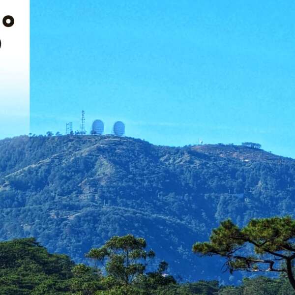
Benguet under Signal No.1 as “Pepito” slightly accelerates to north-central Luzon
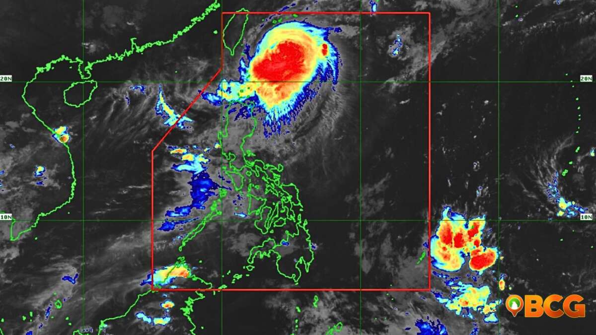
Tropical depression “Pepito” has slightly accelerated as it moves west-northwest towards the north-central Luzon area. The tropical depression is forecasted to make landfall in the vicinity of Aurora-Isabela tonight. Pepito is forecasted to reach tropical storm intensity before making landfall without removing the possibility that it will remain as a tropical depression before hitting landmass. Pepito however is forecasted to intensify into a tropical storm when it crosses landmass by Thursday.
Tropical Storm Warning
Tropical Storm Warning Signal No. 1 is now up on the following areas:
- Isabela
- Quirino
- Nueva Vizcaya
- Abra
- Kalinga
- Mountain Province
- Ifugao
- Benguet
- Ilocos Sur
- La Union
- Pangasinan
- Aurora
- Nueva Ecija
- Tarlac
- Zambales
- Bulacan
- Pampanga
- Bataan
- Metro Manila
- Rizal
- the northern portion of Quezon (General Nakar,Infanta,Real) including Polillo Islands
- the extreme northern portion of Camarines Norte (Vinzons)
- and Catanduanes
Tropical Depression Track
At 4:00 AM today, the center of Tropical Depression “PEPITO” was estimated based on all available data at 440 km East of Infanta, Quezon (15.1 °N, 125.7 °E )
- 24 Hour(Tomorrow morning): 15 km West Northwest of Dagupan City, Pangasinan(16.1 °N, 120.2 °E)
- 48 Hour(Thursday morning):430 km West of Dagupan City, Pangasinan( 15.9 °N, 116.3 °E)
- 72 Hour(Friday morning): 605 km West of Dagupan City, Pangasinan (OUTSIDE PAR)( 16.3 °N, 114.7 °E)
- 96 Hour(Saturday morning):825 km West of Dagupan City, Pangasinan (OUTSIDE PAR)( 16.4 °N, 112.6 °E)

Source: PAGASA
How do you feel about this?
Happy
0
Sad
0
Shocked
0
Not Sure
0